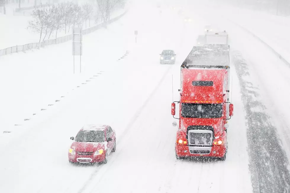
Yet Another Winter Storm Watch for the Northwest
According to the National Weather Service, a front out of Alaska is moving south and will hit Washington tonight and tomorrow. Snow is expected in the mountain ranges including Snoqualamie Pass. Inches of snow possible, and mid to heave rains may make it to the Tri-Cities.
The front will bring temperatures down possibly below freezing in the area on Sunday. In the mountains they may see up to 8-13 inches! Snow levels may even dip to 1,500 to 2,000 feet in the Mid-Columbia region. If you're traveling to Seattle, be prepared for snow. And if you're staying in town, be prepared to get wet.
More From 105.3 KISS FM